Crie mapas vetoriais interativos do mundo, continentes, qualquer país do mundo e regiões específicas, incluindo mapas individuais de condados dos Estados Unidos.
RVM – Responsive Vector Maps
Hospedagem WordPress com plugin RVM – Responsive Vector Maps
Onde hospedar o plugin RVM – Responsive Vector Maps?
Este plugin pode ser hospedado em qualquer provedor que possua WordPress configurado. Recomendamos fortemente utilizar um provedor de hospedagem confiável, com servidores especializados para WordPress, como o serviço de hospedagem da MCO2.
Hospedando o plugin RVM – Responsive Vector Maps em um provedor seguro
A MCO2, além de instalar o WordPress na versão mais atual para seus clientes, disponibiliza o WP SafePress, um mecanismo exclusivo que salvaguarda e otimiza seu site simultaneamente.
Por que a Hospedagem WordPress funciona melhor na MCO2?
A Hospedagem WordPress funciona melhor pois a MCO2 possui servidores otimizados para WordPress. A instalação de WordPress é diferente de uma instalação trivial, pois habilita imediatamente recursos como otimização de imagens, proteção da página de login, bloqueio de atividades maliciosas diretamente no firewall, cache avançado e HTTPS ativado por padrão. São plugins que potencializam seu WordPress para a máxima segurança e o máximo desempenho.
Create responsive linkable vector maps in one click, many customizations possible, toggle elements on the page or display content over the maps. All settings in one page !
Vector maps never loose quality when reducing or increasing their sizes. Using RVM you will not need to create static images for area map tags.
You can use maps in sidebars or just in post/page content using shortcodes.
funcionalidades
- Default maps available for free : Italy and whole World ( with clickable countries ).
- Responsive: Maps will adapt their width to any device
- High quality image
- Cross-browser compatibility
- More then 200 downloadable maps available on responsivemapsplugin.com
- Chance to install dynamic maps with all kind of svg ( not only geographical maps ! )
- Mouseover tooltip effect
- Linkable Subdivisions: Customize background colours, links and html popup ( tooltip )
- Subdivisions’ actions : show/hide elements on the page and display label content when clicking on subdivisions
- Linkable Markers: Add your linkable markers on most of the maps using latitude and longitude. Chance to have html popup, dimension ( marker radius ) and min/max radius dimension scale
- Pinpoints: Use your favourite images as icons for markers’ pinpoints
- Customizable look and feel ( even transparent background )
- Preview functionality: WYSAWYG while creating/editing your map
- Shortcodes: Use generated shortcodes in your posts, pages or sidebars
- Widget: Maps can be used in widget area too
- Zoom capabilities
- Export and Import features: backup and restore markers and subdivision settings in just one click
- Subdivisions’ names: get rid of subdivisions’ names with just one setting
- Translations : easily input your own translations in subdivisions’s popups
Arbitrary section
ATTENTION: bare in mind that using same identical shortcode ( same post ID ) in more then one position on the same page will result into a layout issue:
in other words if you create a new map you should not use it in more then one position ( post/sidebar ) per page.
That’s because the javascript managing map creation fires same ID selector.
Create instead a new one and use it for your purposes.
Capturas de tela
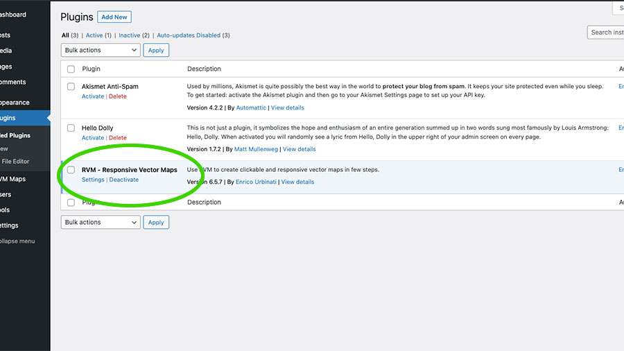
RVM once installed into Wordpress
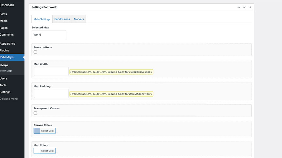
Main settings : add padding, background and canvas colour and many more
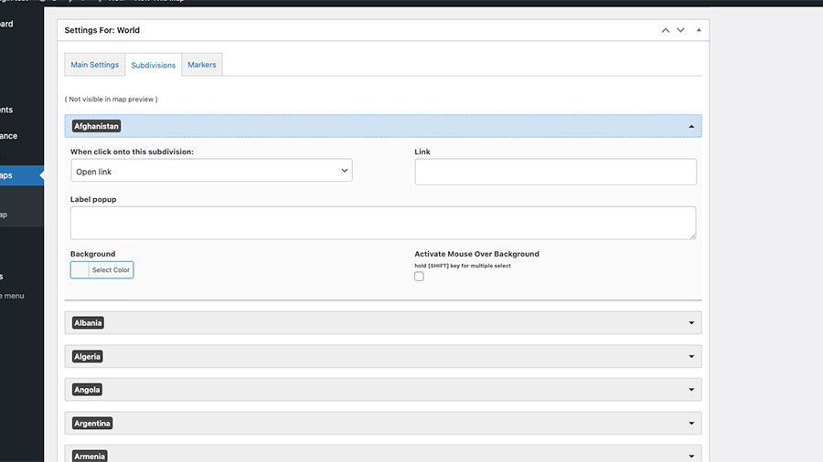
Subdivisions settings : customise every single area of the map, add link, html popup label, background color and more
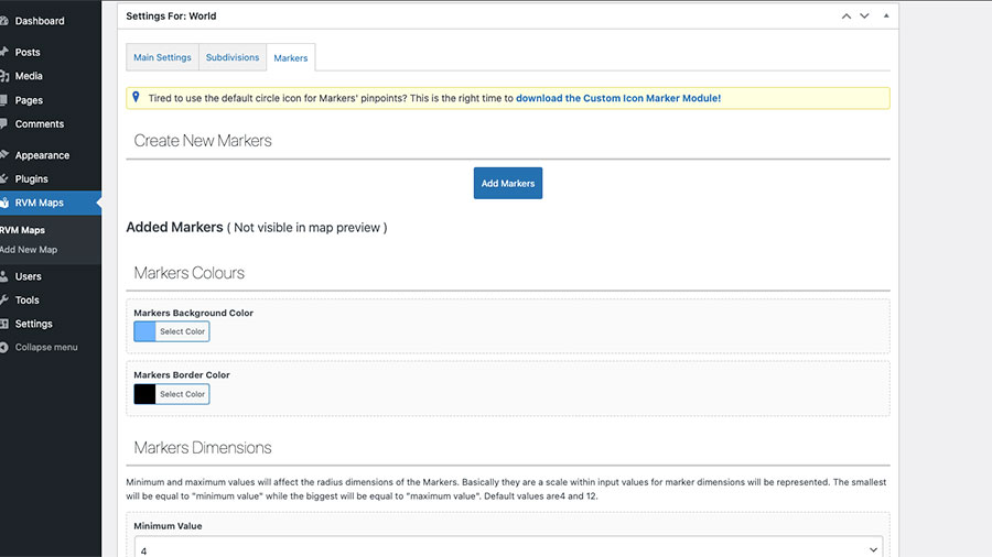
Markers section : add markers pinpoints using latitude and longitude, customise colors, size and borders
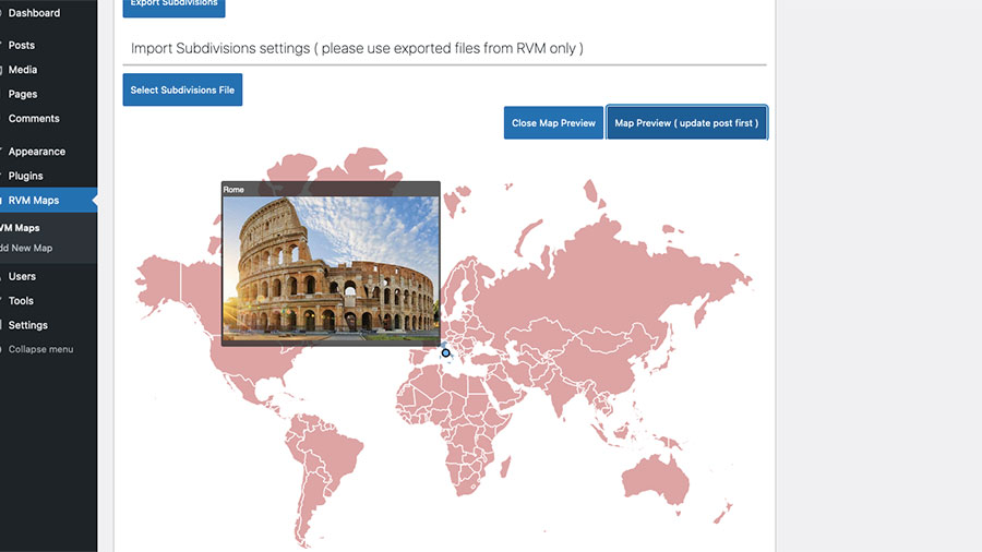
Use the Preview button to see map before going live
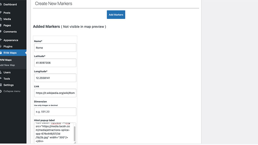
Use html popup label to add rich content to your markers and subdivisions
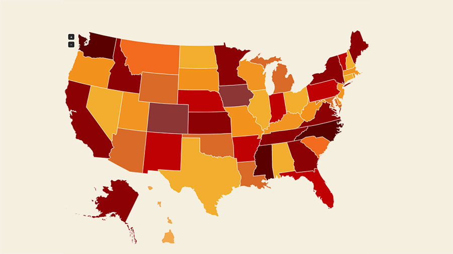
Premium maps purchasable on responsivemapsplugin.com
